Accurate Data. Better Planning. Stronger Foundations.
Land Survey is the art and science of measuring the earth’s surface and determining the relative position of points on
Determines property boundaries and legal Limits for land ownership and disputes.
Maps natural and man-made features including elevations, contours, and landforms.
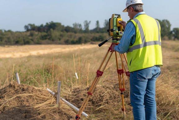
Supports construction activities by setting out structures and verifying dimensions on-site.
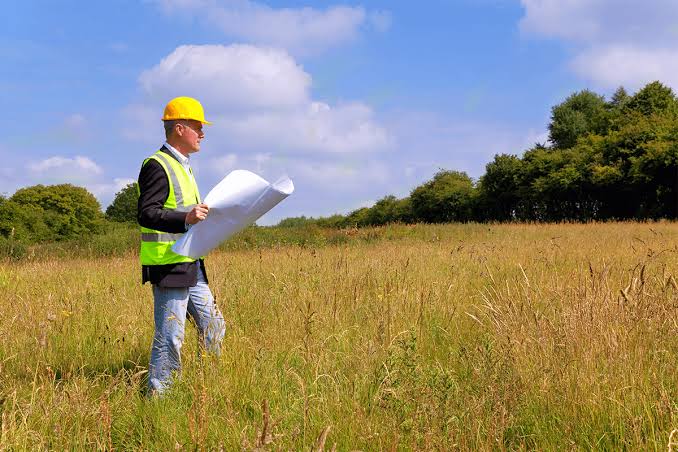
Provides existing site conditions and details before design and construction.
Captures high-resolution aerial data, orthomosaics, and 3D models using drones.
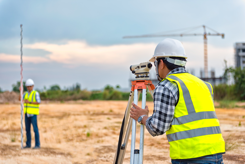
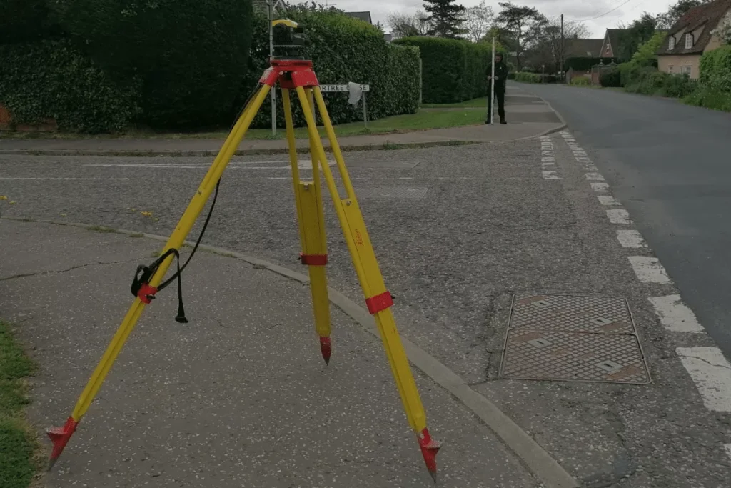
Determines elevations and differences in height to establish level surfaces.
Involves mapping land parcels for legal records, taxation, and land management.
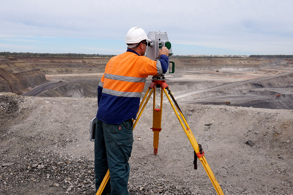
Used for exploration, mine planning. volume calculation, and resource management.
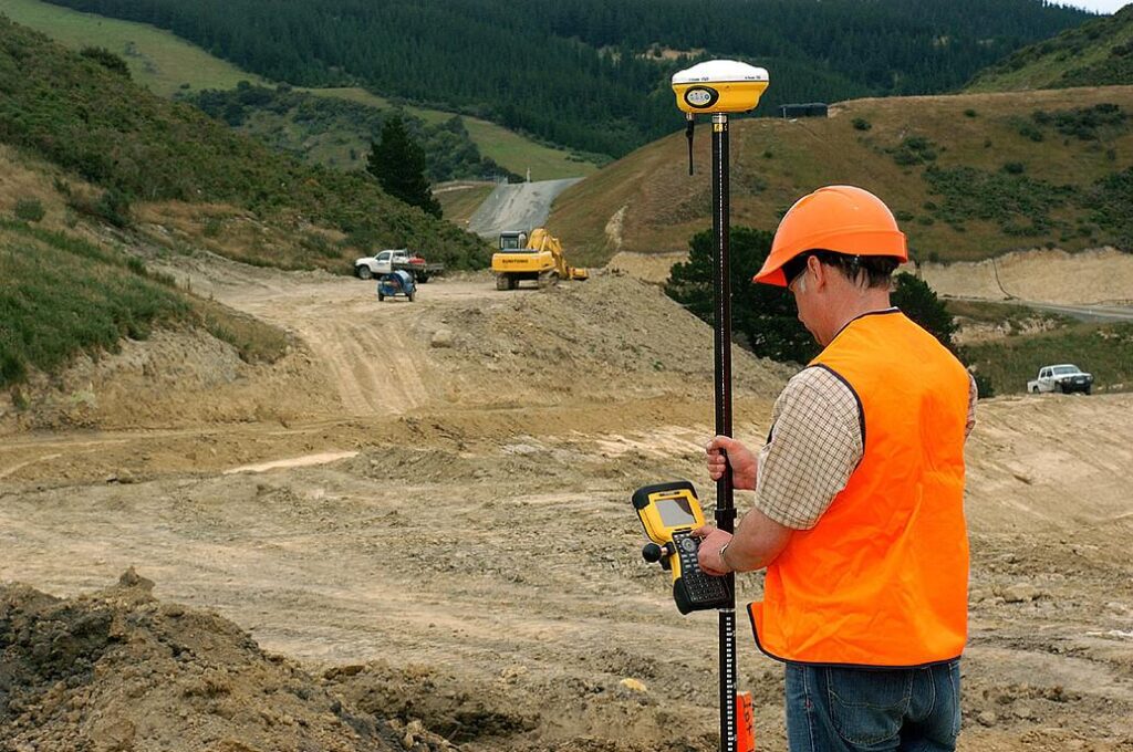
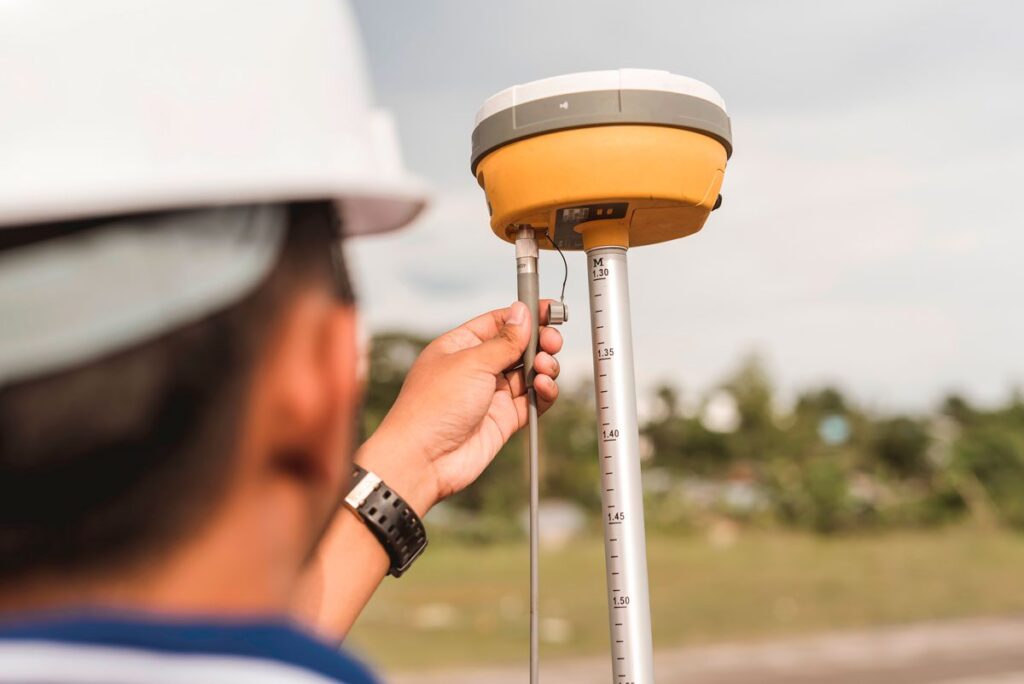
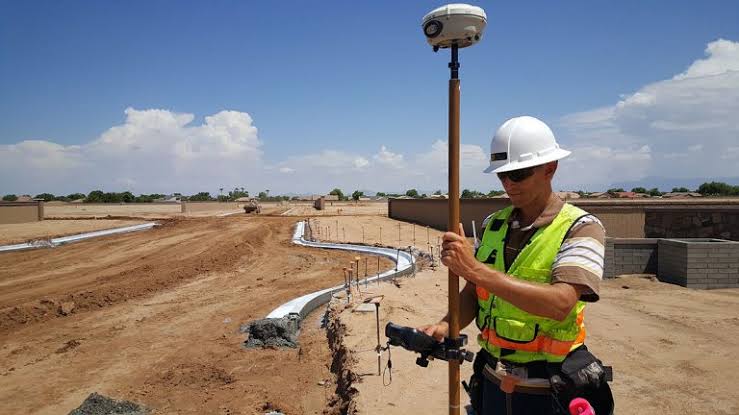
Uses satellite technology for precise positioning and geospatial data collection.
Supports engineering projects like roads, bridges, dams, and infrastructure planning.
Marks the position of proposed structures. roads, and utilities before construction.
Define survey objectives
Data collection on-site
Process and adjust survey
Maps, reports & deliverables
Used for design, construction & management