
Accurate land information is an essential part of successful construction, infrastructure, and development projects. Before designing a building, road, utility network, or other development, project teams need a clear understanding of the site’s existing conditions. This is where a Topographical Survey UAE becomes highly valuable.
A topographical survey captures important details about the physical features and elevations of a site. It can identify changes in ground levels, existing structures, roads, boundaries, drainage features, vegetation, and other visible elements that may influence project planning.
For developers and contractors in the UAE, professional surveying can help create a reliable foundation for design and construction decisions. Companies such as Beehive Engineering can support projects with different surveying requirements, from conventional land surveys to advanced scanning solutions.
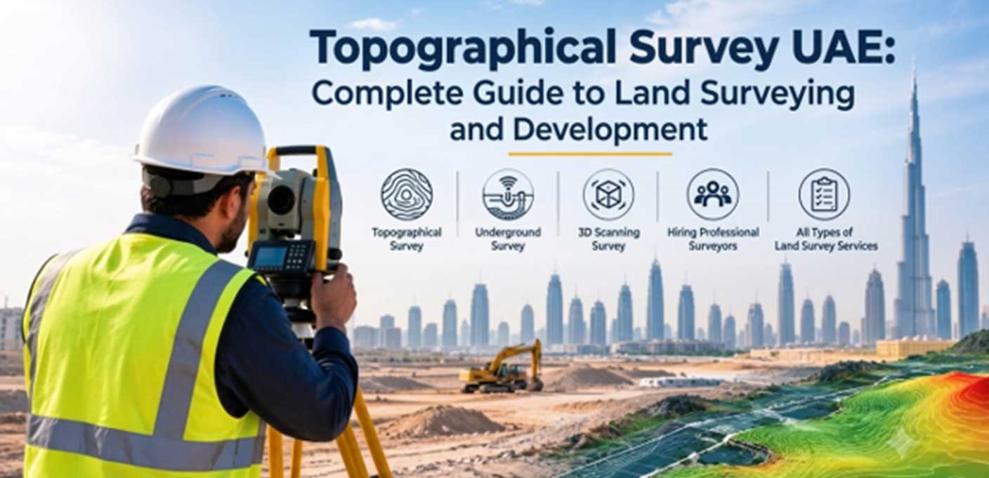
What Is a Topographical Survey?
A topographical survey is a detailed survey used to record the natural and man-made features of a particular area. It generally includes measurements of horizontal positions and elevations, allowing surveyors to create an accurate representation of the site.
The collected information can be presented through:
- Detailed survey drawings
- Contour maps
- Digital terrain models
- CAD drawings
- Point-cloud data
- 3D representations
- Elevation information
This data can then be used by architects, engineers, developers, and contractors during the planning and design stages.
Why Is Topographical Surveying Important in the UAE?
The UAE has a wide range of development environments, including urban areas, large construction sites, road corridors, commercial developments, residential communities, and infrastructure projects.
Even a relatively small difference in ground elevation can affect drainage, foundation planning, access roads, utility installation, and overall site design.
A professional topographical survey can help project teams:
- Understand existing ground conditions
- Identify elevation changes
- Plan grading and earthworks
- Improve drainage planning
- Support engineering design
- Identify existing site features
- Reduce uncertainty before construction
- Create accurate base information for CAD and BIM workflows
By obtaining reliable site data before construction begins, project teams can make better-informed technical decisions.
What Does a Topographical Survey Include?
The exact scope depends on the project and site requirements. However, a typical survey may record several types of information.
- Ground Elevations
Surveyors measure different points across the site to establish changes in elevation. These measurements help engineers understand the terrain and prepare suitable designs.
- Existing Structures
Buildings, walls, roads, pavements, poles, and other structures can be documented as part of the survey.
- Natural Features
Depending on the project scope, features such as slopes, vegetation, drainage channels, and other terrain characteristics may also be recorded.
- Site Levels and Contours
Contour information provides a visual understanding of how the ground rises and falls across the property.
- Utility and Infrastructure Information
Where required and within the agreed survey scope, relevant utility-related information can be collected or coordinated with other specialist surveys.
Underground Survey UAE: Understanding What Lies Beneath the Site
Not every important site feature is visible from the surface. Underground cables, pipelines, drainage systems, and other buried infrastructure can create significant challenges during excavation and construction.
An Underground Survey UAE can help project teams investigate subsurface conditions and identify potential underground services before construction activities begin.
Depending on the project requirements, specialist technologies may be used to detect and map underground features without extensive excavation.
Underground surveying can be particularly useful for:
- Road and infrastructure projects
- Utility installation
- Excavation planning
- Building developments
- Renovation projects
- Industrial sites
- Utility corridor mapping
Combining surface-level topographical information with appropriate underground survey data can provide a more complete understanding of a development site.
3D Scanning Survey in UAE for Detailed Site Documentation
Modern surveying technology has significantly expanded the way complex sites can be documented. A 3D Scanning Survey in UAE can capture large amounts of spatial information and create detailed digital representations of existing environments.
Laser scanning technology can collect numerous measurements from a site and generate point-cloud data. This information can then be processed for applications such as:
- Existing-condition documentation
- Building surveys
- Structural assessment
- BIM coordination
- Renovation planning
- Industrial facility documentation
- Clash detection support
- As-built documentation
One of the key benefits of 3D scanning is its ability to capture complex spaces efficiently while creating a detailed digital record of existing conditions.
For projects involving complicated structures or large facilities, 3D scanning can complement traditional surveying methods.
All Types of Land Survey Services for Different Project Requirements
Different projects require different types of surveying. A construction project may need topographical information, while another project may require boundary, engineering, or as-built documentation.
Professional surveying companies may provide All Types of Land Survey Services, depending on their technical capabilities and project requirements.
Common surveying services can include:
- Topographical surveys
- Land and boundary surveys
- Engineering surveys
- Construction surveys
- As-built surveys
- Setting-out surveys
- Utility surveys
- Underground surveys
- 3D laser scanning
- Site mapping
- Elevation surveys
The appropriate survey method depends on the site’s characteristics, project objectives, required accuracy, and information needed by the engineering or construction team.
Hiring Professional Surveyors on Monthly, Weekly, or Daily Basis
Not every project needs a surveyor for the entire duration of construction. Some projects require short-term support, while large developments may need continuous surveying assistance.
Hiring Professional Surveyors on Monthly, Weekly, or Daily Basis can provide flexibility based on project requirements.
This type of arrangement may be useful for:
Daily Requirements
Suitable for short-term site activities, measurements, inspections, or specific construction tasks.
Weekly Requirements
Useful when survey support is needed regularly but not continuously throughout the week.
Monthly Requirements
Suitable for longer construction projects where ongoing surveying support is required for setting out, measurements, verification, and documentation.
Flexible surveying arrangements can help project teams obtain professional support without necessarily committing to a full-time surveying resource when it is not required.
How Topographical Survey Data Supports Construction Projects
A topographical survey is generally performed before or during the early stages of project development. The information gathered can support several stages of the construction process.
Site Planning
Engineers can use elevation and feature data to understand the existing site and develop an appropriate layout.
Design Development
Architectural and engineering teams can incorporate existing terrain information into their designs.
Drainage Planning
Accurate elevation information can help engineers evaluate natural slopes and plan suitable drainage solutions.
Earthwork Planning
Understanding existing and proposed levels can assist with cut-and-fill calculations and grading plans.
Construction Setting Out
Survey information can support the positioning of structures and other project elements according to approved designs.
As-Built Verification
Surveying can also be used to compare constructed elements with design requirements and document existing conditions.

Traditional Surveying vs. Modern 3D Surveying
Traditional surveying techniques remain valuable for many projects, particularly where specific points, levels, and measurements are required.
Modern 3D scanning, however, can provide extensive spatial information and is particularly useful for complex environments.
The choice between traditional surveying and 3D scanning should be based on factors such as:
- Project size
- Required accuracy
- Site complexity
- Deliverable requirements
- Project timeline
- Available technology
- Type of information required
In many cases, combining multiple surveying techniques can provide a more comprehensive result.
How to Choose a Surveying Company in the UAE
Choosing a surveying provider requires more than simply comparing prices. Project teams should consider the company’s technical capabilities, experience, equipment, and ability to deliver the required survey outputs.
Before hiring a surveying company, consider:
- Relevant project experience – Check whether the company has worked on projects similar to yours.
- Surveying technology – Ask about the equipment and technologies available for your project.
- Qualified professionals – Experienced surveyors can help ensure that fieldwork and data processing are handled properly.
- Deliverables – Confirm whether you will receive CAD drawings, point clouds, reports, models, or other required formats.
- Project flexibility – Consider whether the company can provide surveyors on a daily, weekly, or monthly basis.
- Scope of services – A provider offering multiple surveying solutions can simplify coordination when a project requires different types of surveys.
Why Work With Beehive Engineering?
Beehive Engineering can be considered for projects that require professional surveying and engineering support in the UAE. A project may involve a straightforward topographical survey or require a combination of land surveying, underground investigation, and advanced 3D documentation.
Working with a professional surveying team can help project stakeholders obtain organized site information that supports planning, engineering, and construction activities.
The right surveying approach ultimately depends on the specific requirements of the project, site conditions, and intended use of the collected data.
Conclusion
Accurate surveying provides an important foundation for construction and land development projects. A Topographical Survey UAE can help project teams understand existing terrain, elevations, structures, and other site features before important design and construction decisions are made.
For projects involving buried infrastructure, an Underground Survey UAE can provide additional information about subsurface conditions. Meanwhile, a 3D Scanning Survey in UAE can offer detailed digital documentation of complex environments.
Whether you need a specific survey, All Types of Land Survey Services, or flexible support through Hiring Professional Surveyors on Monthly, Weekly, or Daily Basis, selecting the right surveying approach can make site planning and project coordination more efficient.
With professional surveying support from Beehive Engineering, developers, engineers, architects, and contractors can obtain the site information they need to move their projects forward with greater clarity.
Frequently Asked Questions (FAQs)
1. What is a topographical survey in the UAE?
2. Why is a Topographical Survey UAE important for construction?
3. What is an Underground Survey UAE?
4. What is a 3D Scanning Survey in UAE?
5. Can professional surveyors be hired on a daily basis?
6. What types of land surveys are commonly required for construction?
7. When should a topographical survey be conducted?
8. How do I choose a professional surveying company in the UAE?
Consider the company’s relevant experience, technical capabilities, surveying equipment, qualified personnel, available deliverables, and ability to provide services according to your project schedule and scope.